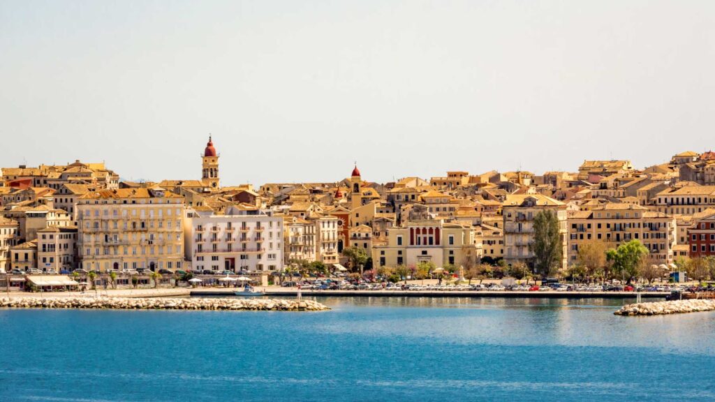
Most visitors to Corfu see the coast and very little else. The interior of the north — the slopes below Mount Pantokrator, the stone villages on the terraces, the summit road with Albania on one side and the Ionian on the other — is a full day’s driving and one of the better days available on the island. Here is a route that works.
The Shape of the Day
Start on the northeast coast, climb to the summit, come back down through the villages on the western slope, and return along the north coast. Allow a full day: the driving itself is around three hours, but the stops are the point.
Going clockwise puts the summit early, before the midday haze builds, and leaves the villages for the afternoon when they are more pleasant to walk around.
The Climb
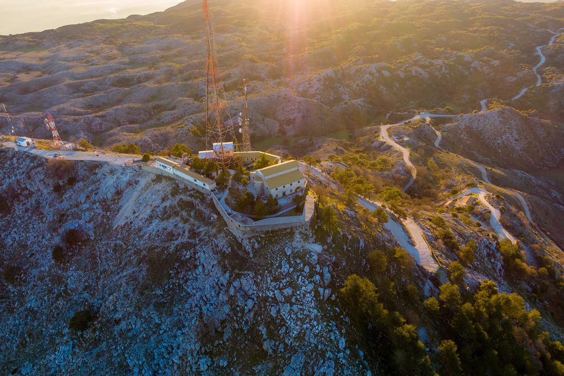
The main ascent runs up from the coast near Nissaki and Barbati, or from the Acharavi side in the north. Either way it is a proper mountain road: narrow, steeply banked, with tight hairpins and very few barriers. It is entirely manageable in a normal car driven sensibly, but it is not a road to hurry on, and meeting a coach or a truck on a bend means someone reverses.
Take it slowly, use low gears on the descent, and pull in at the obvious viewpoints rather than stopping on bends.
The Summit
Pantokrator is the highest point on Corfu, at just under 1,000 metres. At the top there is a monastery — parts of it centuries old — alongside a large telecommunications installation that nobody pretends is attractive but which does not spoil the view.
On a clear morning you can see the whole island laid out below, the Albanian mountains across the channel, and on the best days the coastline of mainland Greece and the outline of other Ionian islands. Haze builds through the day in late summer, so early is better.
There is a small café at the top in season.
The Villages
Coming down the western side, the route runs through a sequence of villages that repay stopping in.
- Strinilas sits high on the mountain among old plane trees, with a couple of tavernas that have been feeding people making this drive for decades. A good lunch stop.
- Petalia and Lafki are smaller and quieter, stone houses on terraces, some restored and some not.
- Spartilas is lower down, spread along the hillside with long views back over the coast.
- Old Perithia, on the northern slopes, is the abandoned Venetian-era village — worth a detour if you have not seen it, though it deserves proper time rather than a passing look.
Road Notes
- Fuel up before you start. Stations are on the coast, not in the mountains.
- The roads narrow without warning. Some sections are a single vehicle wide with passing places.
- Surfaces vary. Mostly fine, with occasional rough patches and gravel on bends after rain.
- Phone signal drops in places on the western slope.
- Goats. Genuinely — they use the road, and they do not move quickly.
Why September Suits This Drive
Summer traffic thins out, which matters a great deal on roads this narrow. The temperature at altitude is comfortable rather than punishing, the light is better for the long views, and the villages are quieter without being closed. It is comfortably the best month of the year for this route.
Rent Your Car with Corfu Compass NSK
This is the drive that makes a rental car worth it — there is no bus that goes anywhere near the summit or the mountain villages. Corfu Compass NSK offers car rental across the island, and guided tours of the north and the interior if you would rather leave the hairpins to someone else.
Contact Corfu Compass NSK to arrange your car rental or mountain tour.